AGRICULTURAL & COMMERCIAL DRONE SERVICES

Smart Drone Solutions for Land, Livestock & Special Projects

Ground Up Engineering Solutions provides professional aerial surveillance, agricultural monitoring, commercial roof surveys and specialist drone services. Helping landowners and businesses gain valuable insights through advanced drone technology.

Years of Experience
0 +

ABOUT US

Professional Drone Solutions for Agriculture & Specialist Projects

At Ground Up Engineering Solutions, we provide professional drone surveying, agricultural surveillance and specialist aerial services. From monitoring smallholdings and livestock to commercial roof surveys and war memorial documentation, we deliver reliable aerial insights tailored to every project.

Agricultural Services

Supporting smallholding owners, farmers and land managers with aerial surveillance, livestock monitoring and practical land management insights.

Special Projects

Providing specialist drone photography and digital documentation for war memorials, heritage locations and unique surveying projects.

OUR SERVICES

Professional Drone Surveying Solutions for Every Project

PRECISION MAPPING

High-resolution aerial surveys deliver detailed site maps and measurements to support accurate planning, land management and project development.

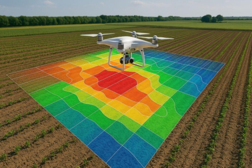
CROP ANALYSIS

Advanced aerial imaging helps assess crop conditions, identify areas of concern and provide insights for more effective agricultural management.

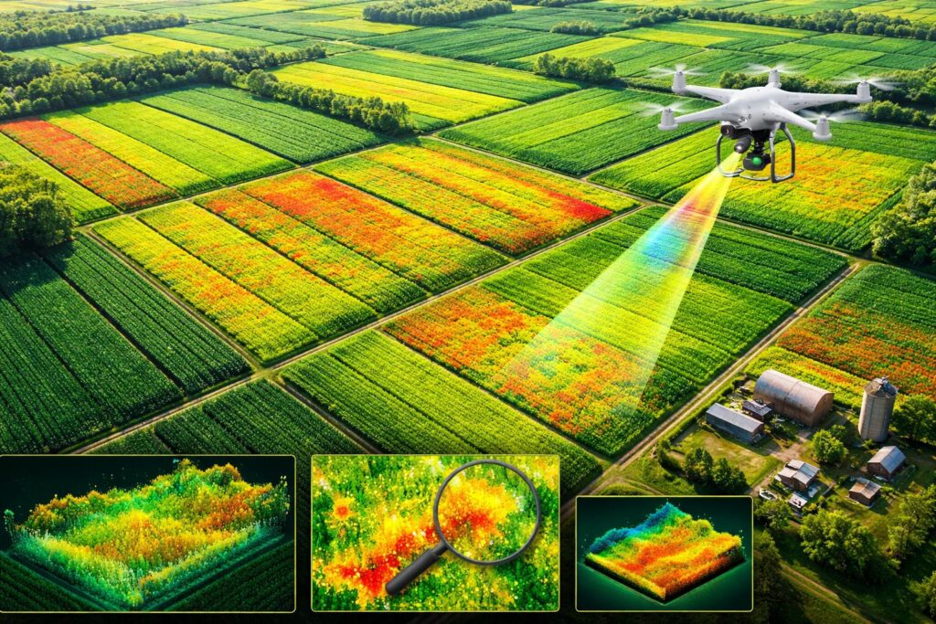
FIELD MODELLING

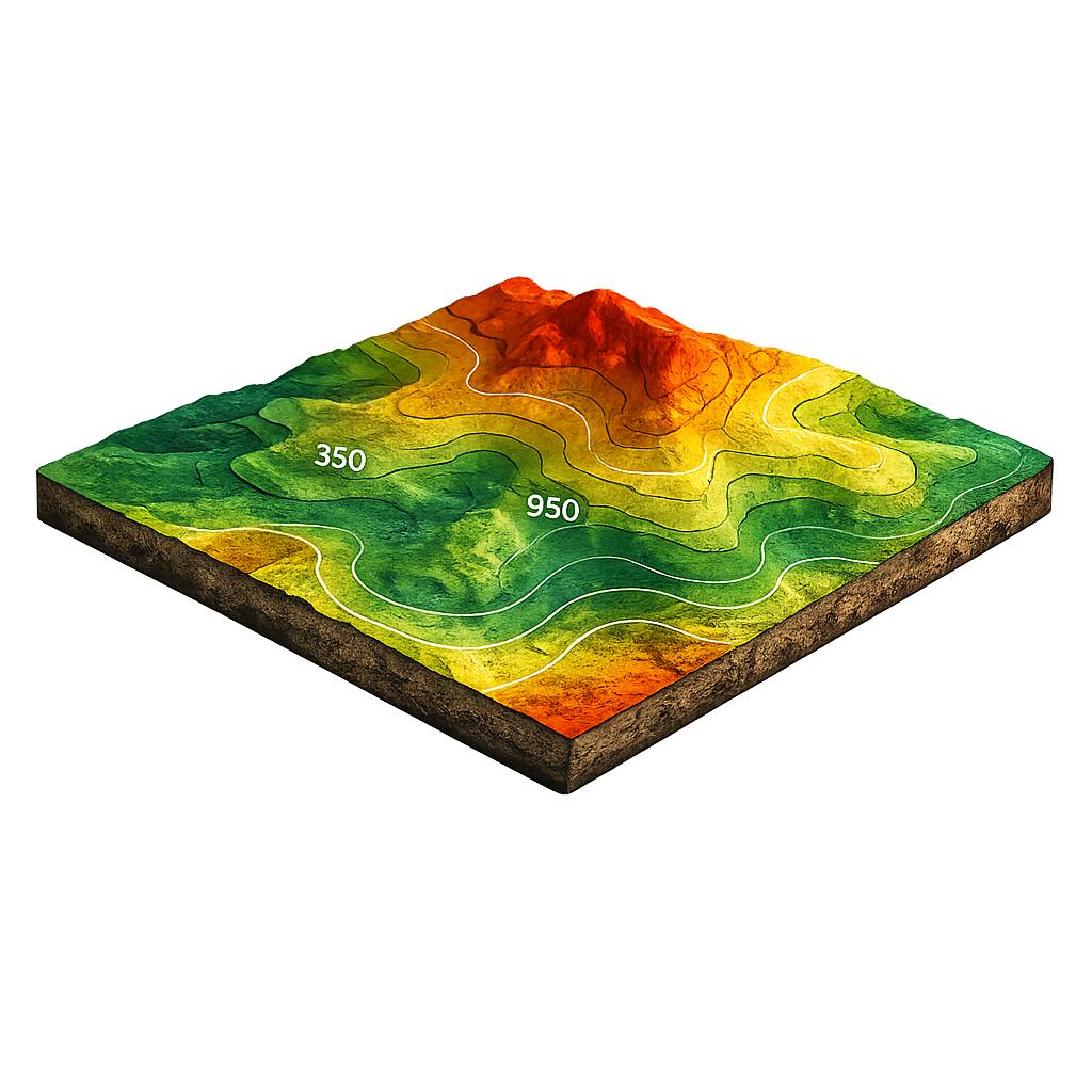
Detailed 3D terrain models provide a clearer understanding of land features, elevation and site conditions for better project planning.

why choose us

Advanced Drone Technology. Reliable Data. Better Decisions.

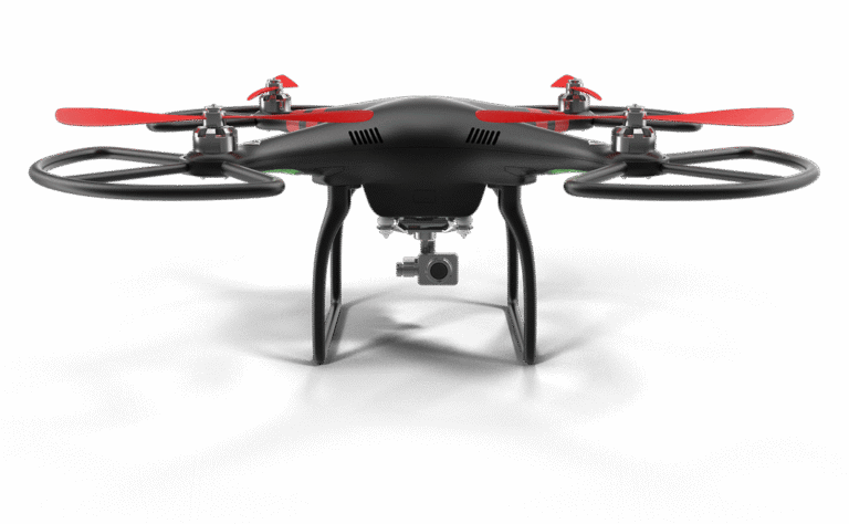
Agricultural Drone
1

Regular Aerial Monitoring

Scheduled and randomly timed flybys provide ongoing visibility of your property.

2

Advanced Thermal Technology

Thermal imaging supports observation of heat patterns during nighttime monitoring.

3

Direct Access to Original Data

Receive unedited aerial footage and survey information without unnecessary modifications.

CLIENT FEEDBACK

Trusted for Professional Drone Surveying

We focus on delivering dependable drone surveying services, clear communication and practical results. Every project is approached with care, attention to detail and a commitment to meeting our clients’ individual requirements.

AGRICULTURAL SURVEILLANCE PACKAGE

Keep a Closer Eye on Your Land & Livestock

Our agricultural surveillance package provides regular drone monitoring for smallholdings, livestock and farmland. With live viewing access and original aerial footage, you can stay informed about your property and make smarter land management decisions.

4 Monthly Flybys

Four randomly scheduled drone surveillance flights every month.

Night Thermal Imaging

One nighttime flight using advanced thermal imaging technology.

Live Viewing Access

Watch your drone flyby in real time through a shared viewing link.

Raw Flight Data

Receive original, unedited aerial footage and data for your own use.

UK CIVIL AVIATION AUTHORITY

Professional Drone Operations, Safety You Can Trust

At Ground Up Engineering Solutions, we are committed to safe, responsible and professional drone surveying. Our operations are planned in accordance with applicable UK Civil Aviation Authority (CAA) regulations, ensuring safety and reliability across every project.

CAA-Authorised Drone Operations

Professional aerial surveying conducted with a commitment to UK aviation safety standards and operational excellence.

Happy Client
0 +

FREQUENTLY ASKED QUESTIONS

Your Drone Surveying Questions, Answered

How Many Drone Flybys Are Included Each Month?

Our agricultural surveillance package includes four randomly scheduled flybys per month, including one nighttime flight using thermal imaging.

Yes. Where live streaming is available, we provide a viewing link so you can watch your drone flyby in real time.

We provide original, unedited drone footage and data, allowing you to review the information according to your individual needs.

Yes. Our agricultural drone services are designed to support smallholding owners and farmers with aerial monitoring of livestock, grazing areas and surrounding land.

Yes. We offer professional aerial roof surveys to help commercial property owners assess visible rooftop conditions and support maintenance planning.

LET'S GET YOUR PROJECT OFF THE GROUND

Ready to See Your Project From a New Perspective?

From agricultural land to construction sites and specialist surveys, our drone solutions provide the aerial insights you need. Contact our team to discuss your requirements and discover the right approach for your project.