
Services

OUR SERVICES

Professional Drone Surveying Solutions for Every Project

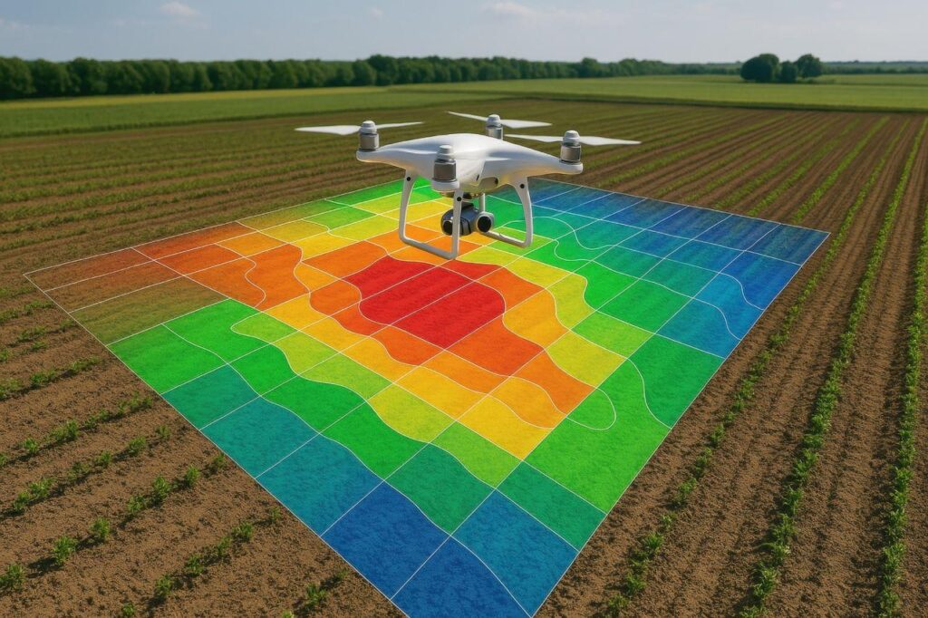
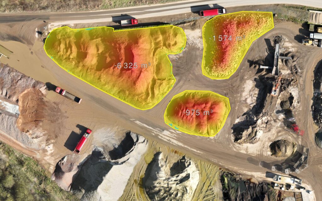
PRECISION MAPPING

High-resolution aerial surveys deliver detailed site maps and measurements to support accurate planning, land management and project development.

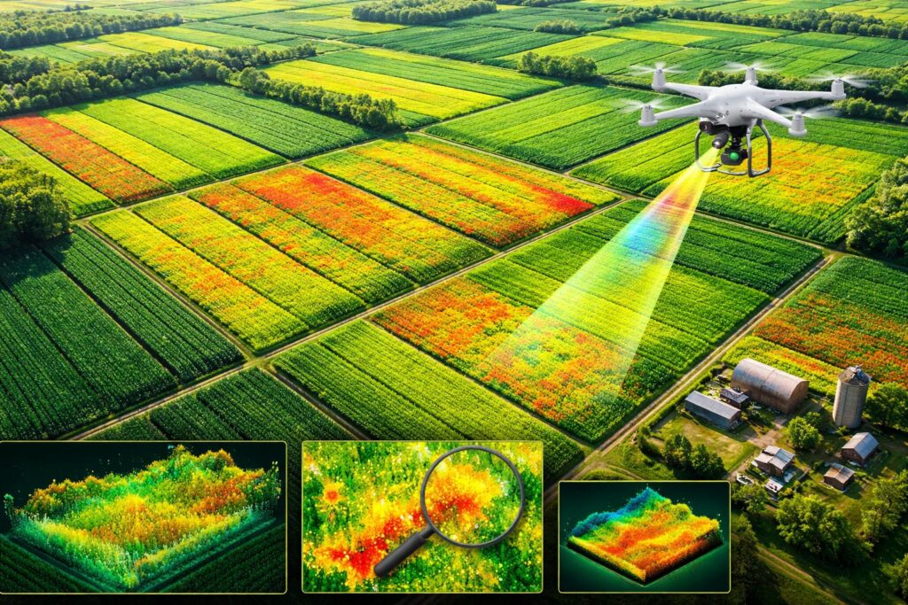
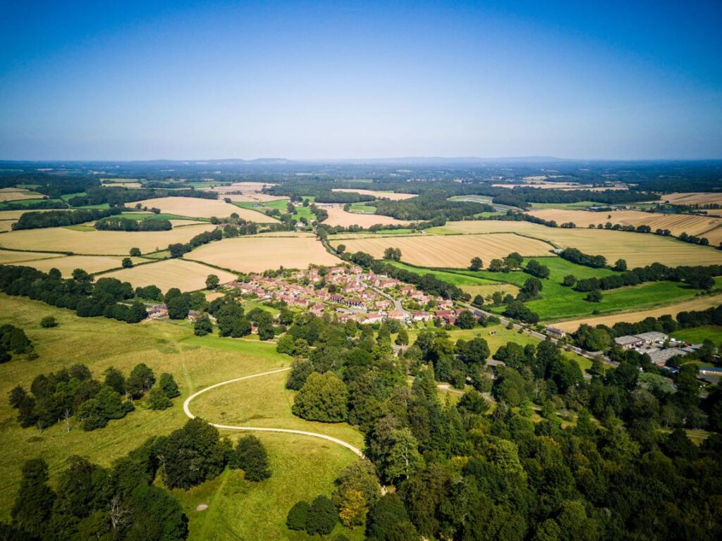
CROP ANALYSIS

Advanced aerial imaging helps assess crop conditions, identify areas of concern and provide insights for more effective agricultural management.

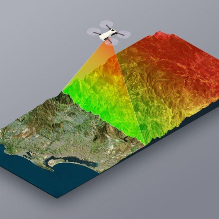
FIELD MODELLING

Detailed 3D terrain models provide a clearer understanding of land features, elevation and site conditions for better project planning.

AGRICULTURAL SURVEILLANCE

Regular drone monitoring for smallholdings, livestock and farmland, including monthly flybys, nighttime thermal imaging and access to live aerial footage.

HERD MANAGEMENT

Professional aerial livestock monitoring helps farmers observe herd movements, assess grazing conditions and make informed decisions for sustainable land management.

COMMERCIAL ROOF SURVEYS

High-resolution aerial roof inspections help identify visible damage, assess property conditions and support efficient maintenance planning for commercial buildings.

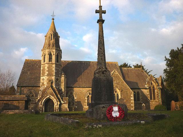
WAR MEMORIAL DOCUMENTATION

Specialist aerial photography and digital documentation of war memorials, churches and heritage sites, helping preserve important historical landmarks for future generations.

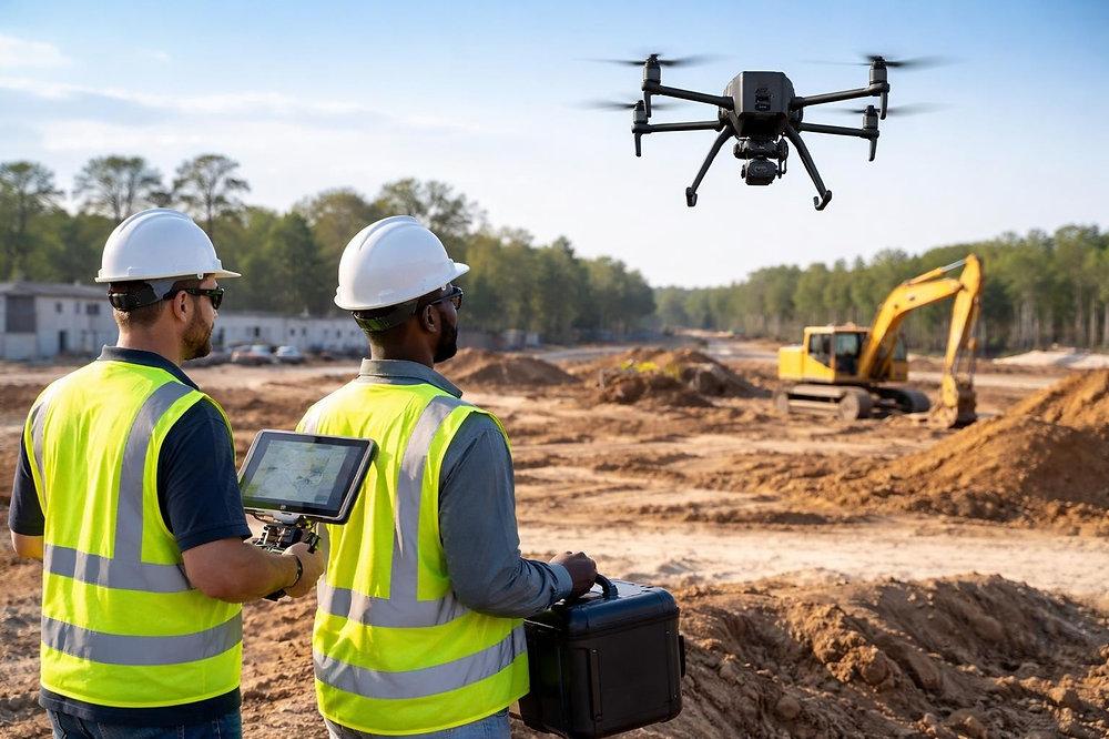
BESPOKE DRONE SOLUTIONS

Tailored aerial surveying and drone services designed to meet unique project requirements across agriculture, construction, commercial properties and specialist industries.

CLIENT FEEDBACK

Trusted for Professional Drone Surveying

We focus on delivering dependable drone surveying services, clear communication and practical results. Every project is approached with care, attention to detail and a commitment to meeting our clients’ individual requirements.

Happy Client
0 +

FREQUENTLY ASKED QUESTIONS

Your Drone Surveying Questions, Answered

01. How Can Drone Mapping Benefit My Farmland?

Drone mapping provides high-resolution aerial images and accurate field data, helping farmers understand their land, identify potential issues and make better agricultural decisions.

Our crop analysis service helps monitor crop health, identify areas requiring attention and provide valuable insights to support more effective crop management.

Yes, our field modelling services use aerial data to develop detailed 3D terrain models, helping landowners understand field conditions, elevation and landscape features.

We use advanced drone mapping technology to calculate volumes of stockpiles, silage and other agricultural materials. Accuracy depends on site conditions, survey methods and data quality.

Survey duration depends on the size of the land, weather conditions and project requirements. We assess each project individually to provide an estimated timeline and deliver reliable results.

Ground Up Engineering Solutions operates in accordance with applicable UK Civil Aviation Authority (CAA) regulations. Our drone surveys are carefully planned with a focus on safety, professional standards and the appropriate permissions for each operation.